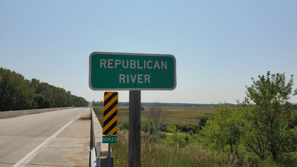
Many people drive through the area west of US-81 south of I-80, and mostly north of I-70 without knowing there is a vast system of infrastructure that provides flood control, recreation, wildlife habitat, and irrigation in the region. Our basin’s water eventually meets the Smoky Hill River and becomes the Kansas River at Junction City, KS then through Manhattan, Topeka, Lawrence, and Kansas City to join the Missouri River.
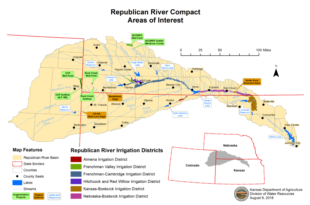
A little bit of history to give some background on how surface water irrigation got to be here. Due to major flooding in the 1930’s on the Republican and downstream on the Kansas, Missouri, and Mississippi Rivers Congress Authorized the Pick-Sloan Missouri Basin Program. Those dams included Harlan County, Milford, Bonny, Enders, Medicine Creek, and Lovewell.
The first construction project, called the Bostwick Division, was authorized by Congress in 1944 and work began in 1948. By 1957,
the Nebraska part of the Division was essentially complete, and the structures in Kansas were nearing completion.
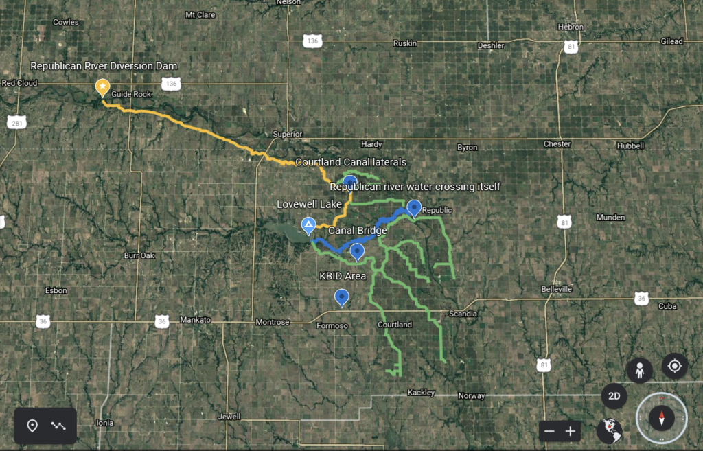
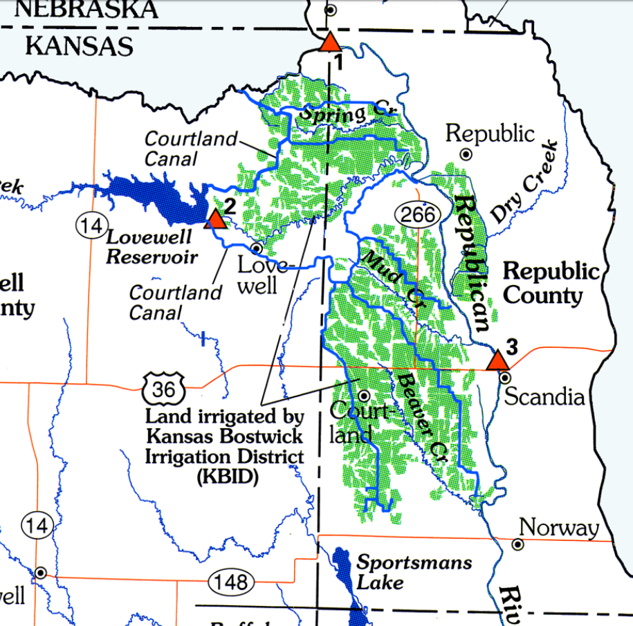
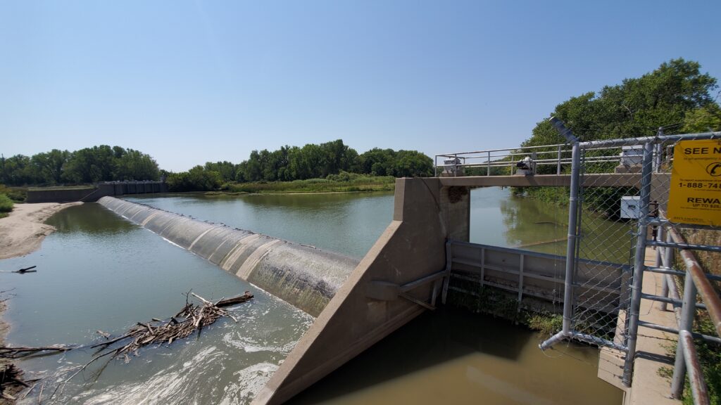
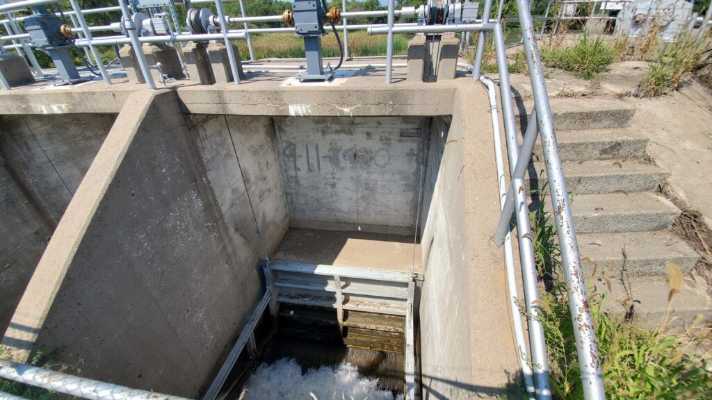
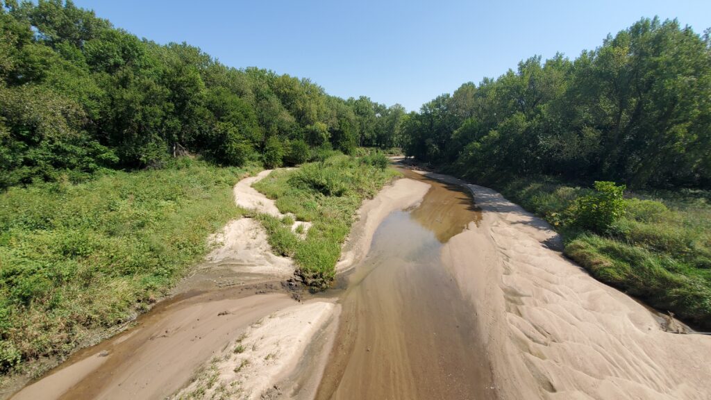
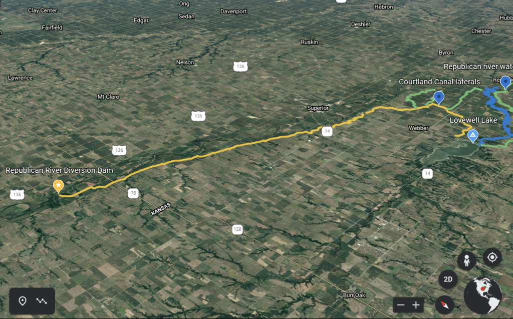
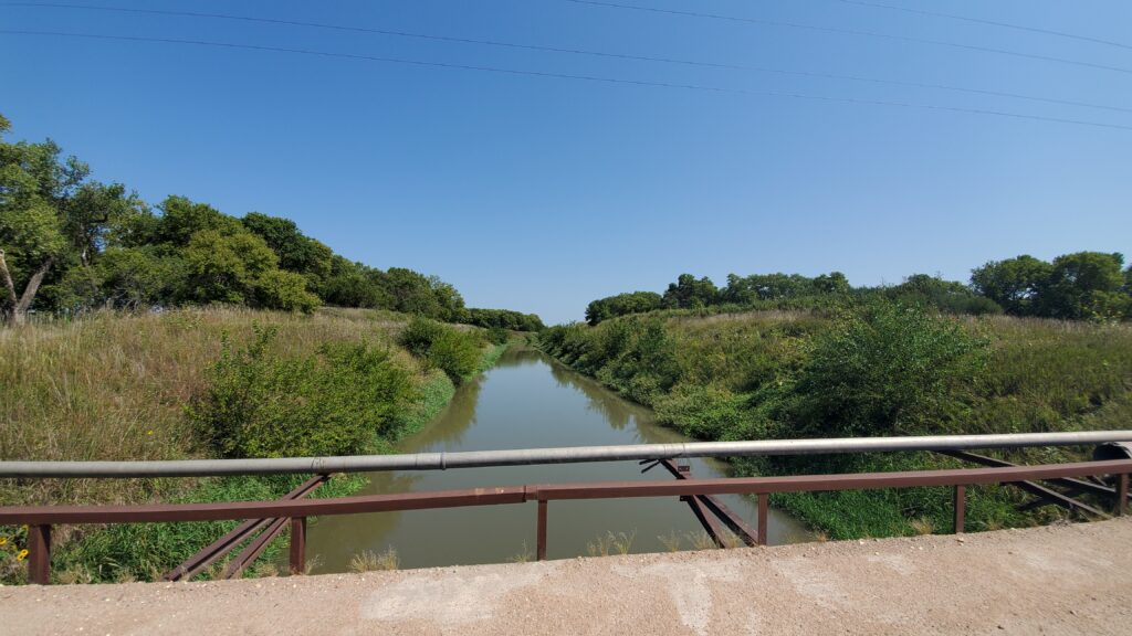
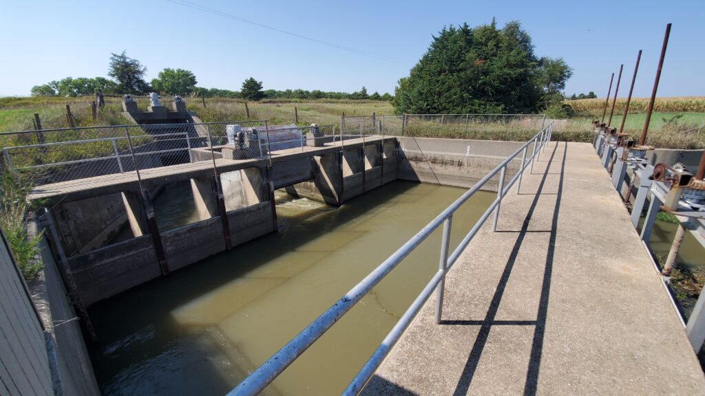
Three miles west of Guide Rock, Nebraska on the Republican River is a concrete ogee weir structure. There are two canals that spur off this diversion dam, the Superior and the Courtland Canals.
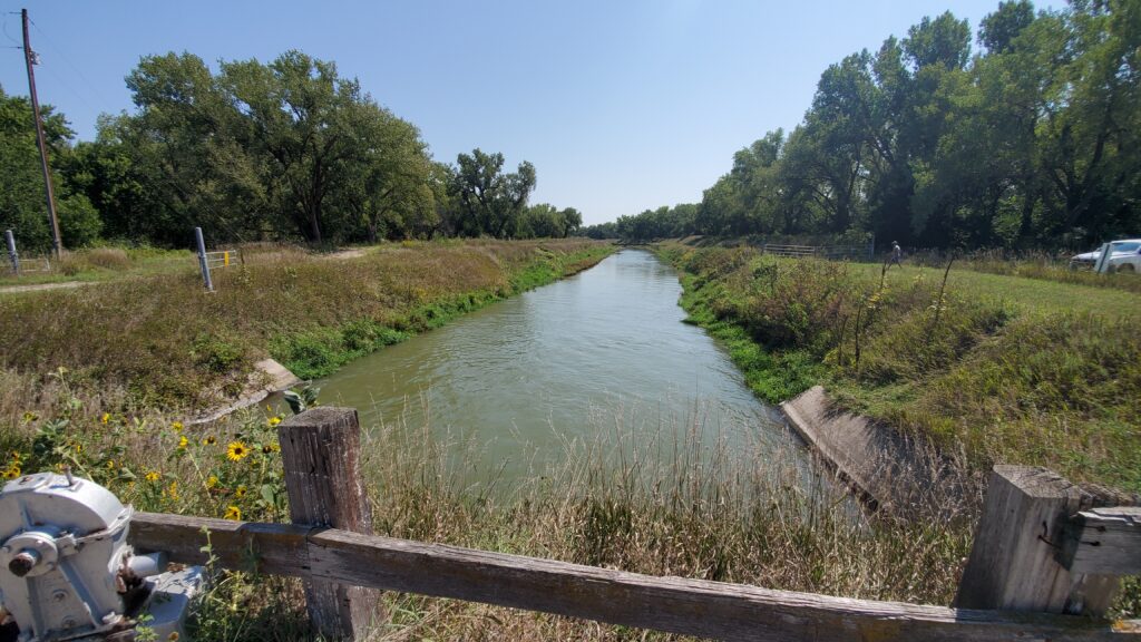
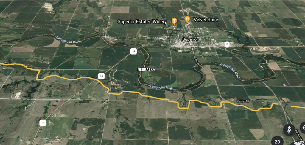
The Superior Canal begins at the north side of the dam and extends 30 miles eastward to the State line. This supplies water to 5,863 acres north of the river in the Superior-Courland Unit in Nebraska.
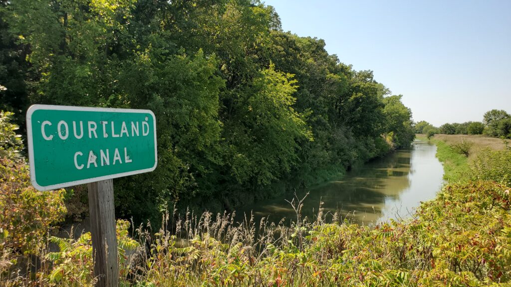
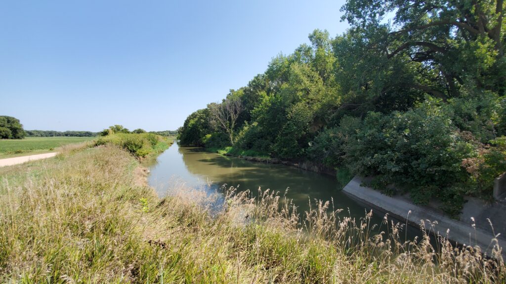
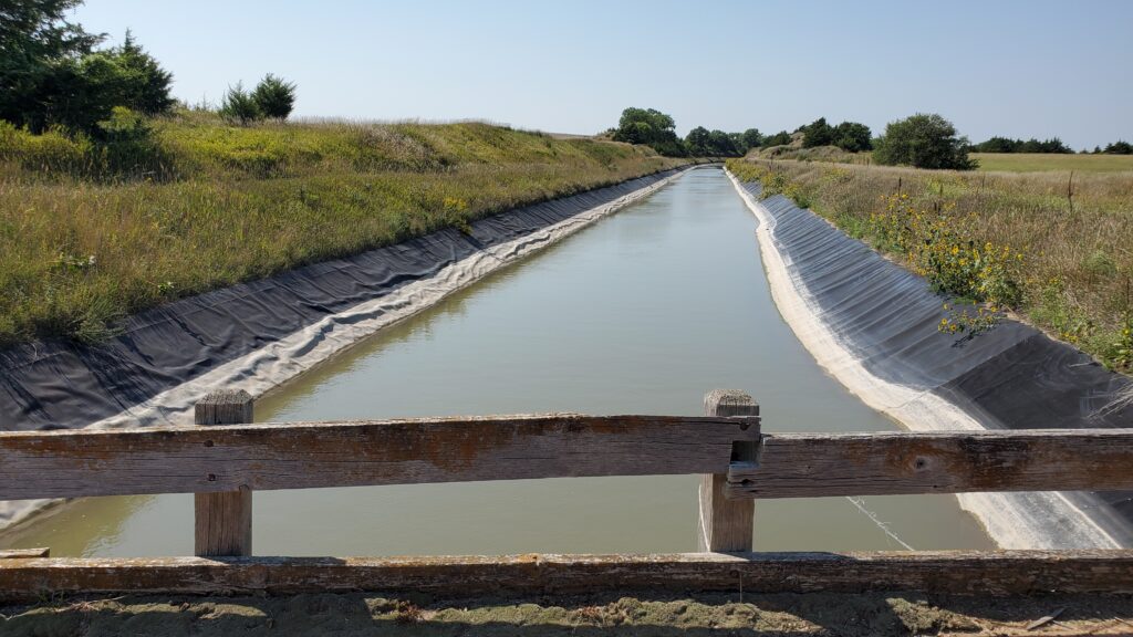
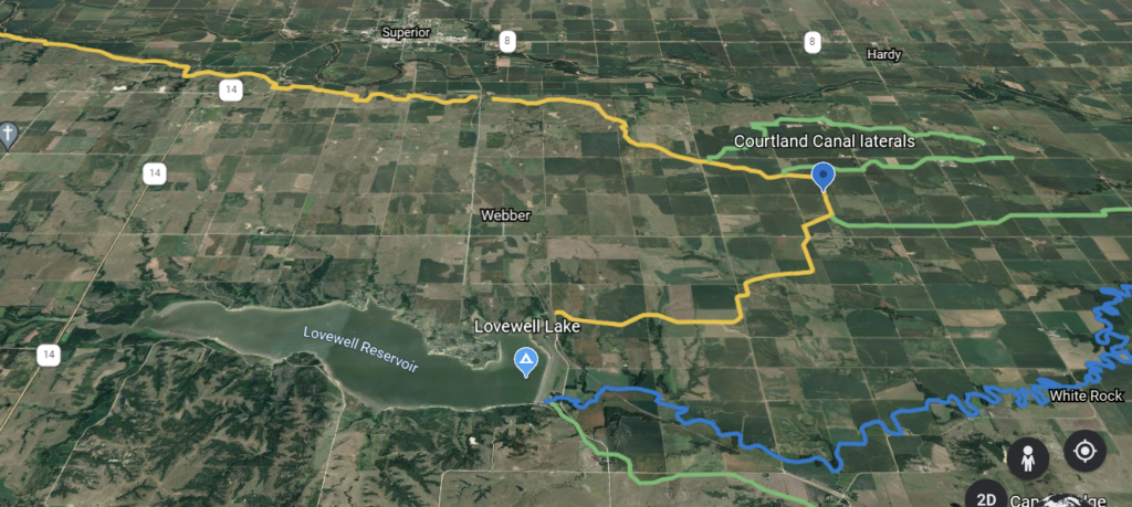
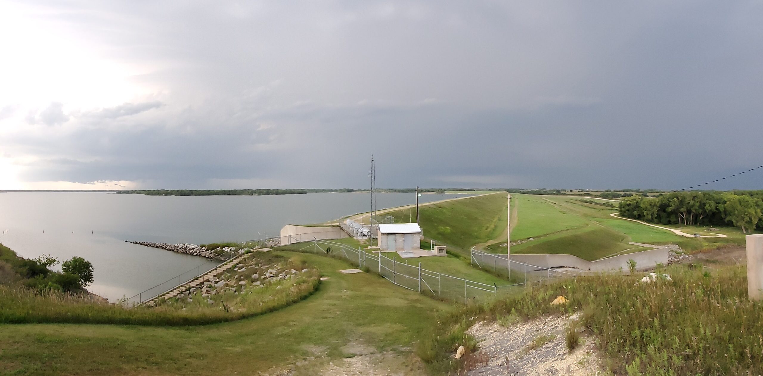
The south side of the dam goes to the Courtland Canal system serving 1,980 acres in Nebraska and 62,000 acres in Kansas. Halfway through the 114-mile trek the water discharges into Lovewell Reservoir in nearby eastern Jewell County, Kansas. This regulates the combined flows of the canal and White Rock Creek.
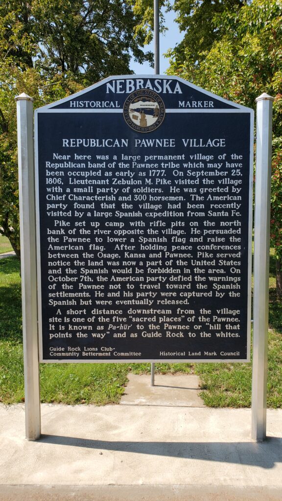
Nearby was the true location of Zebulon Pike’s famed raising of the American flag west of the Mississippi. It was previously thought to have taken place at the Pawnee Indian Village Museum site north of Courtland in Republic County, Kansas. That fortunate mistake ultimately leads to the excellent preservation and of the site and artifacts for our local museum.
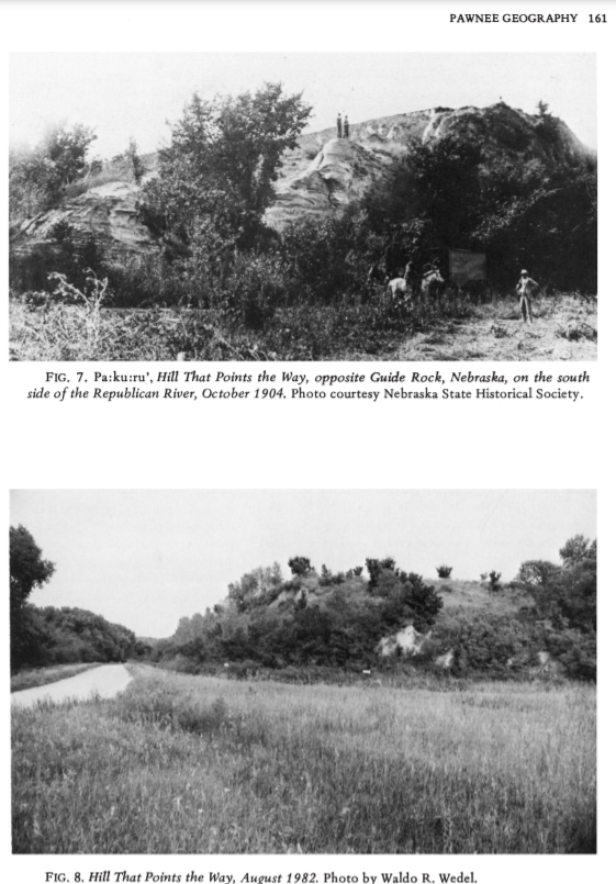
If you drive east on River Road one mile to Rankin Creek you will see the Pa-Hur sacred Pawnee site as “hill that points the way”. The English translated it to Guide Rock where the town got it’s name.
In the traditional Pawnee religion, this was one of five lodges of the nahurac, spirit animals with supernatural healing powers.
Another of the five lodges was located southwest of Courtland 45 miles named Kitzawitzuk, translated “water on a bank”, also known to the Pawnee as Pahowa, was a spring on the Solomon River, near Glen Elder, Kansas; it is usually known today by its Kanza-derived name of Waconda Spring. It now lies beneath the waters of Waconda Reservoir.
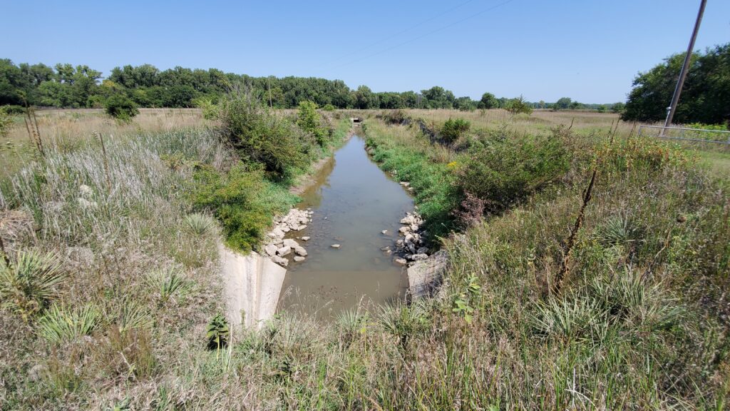
The lower end of the system diverts from Lovewell Reservoir on the south side of the dam and heads southwest around Courtland, KS. The system and its components total 114 miles in length. In addition to the Courtland Canal, some of the more important features are the North, Ridge, White Rock, Miller, White Rock Extension, and Courtland West Canals.
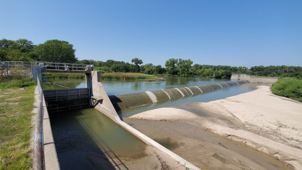
The Courtland Canal enters the lake from the north from the inlet canal. Some acres are irrigated from the canal “above the lake” and most receive the water “below the lake” from the Courtland Main Canal starting on the south side of the dam.
For more technical information you can visit the US Bureau of Reclamation’s website.
Here’s a drone video from Lovewell Lake dam to the Irrigation Ales taproom along the canals.